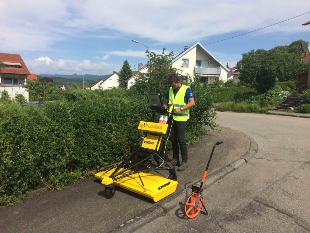
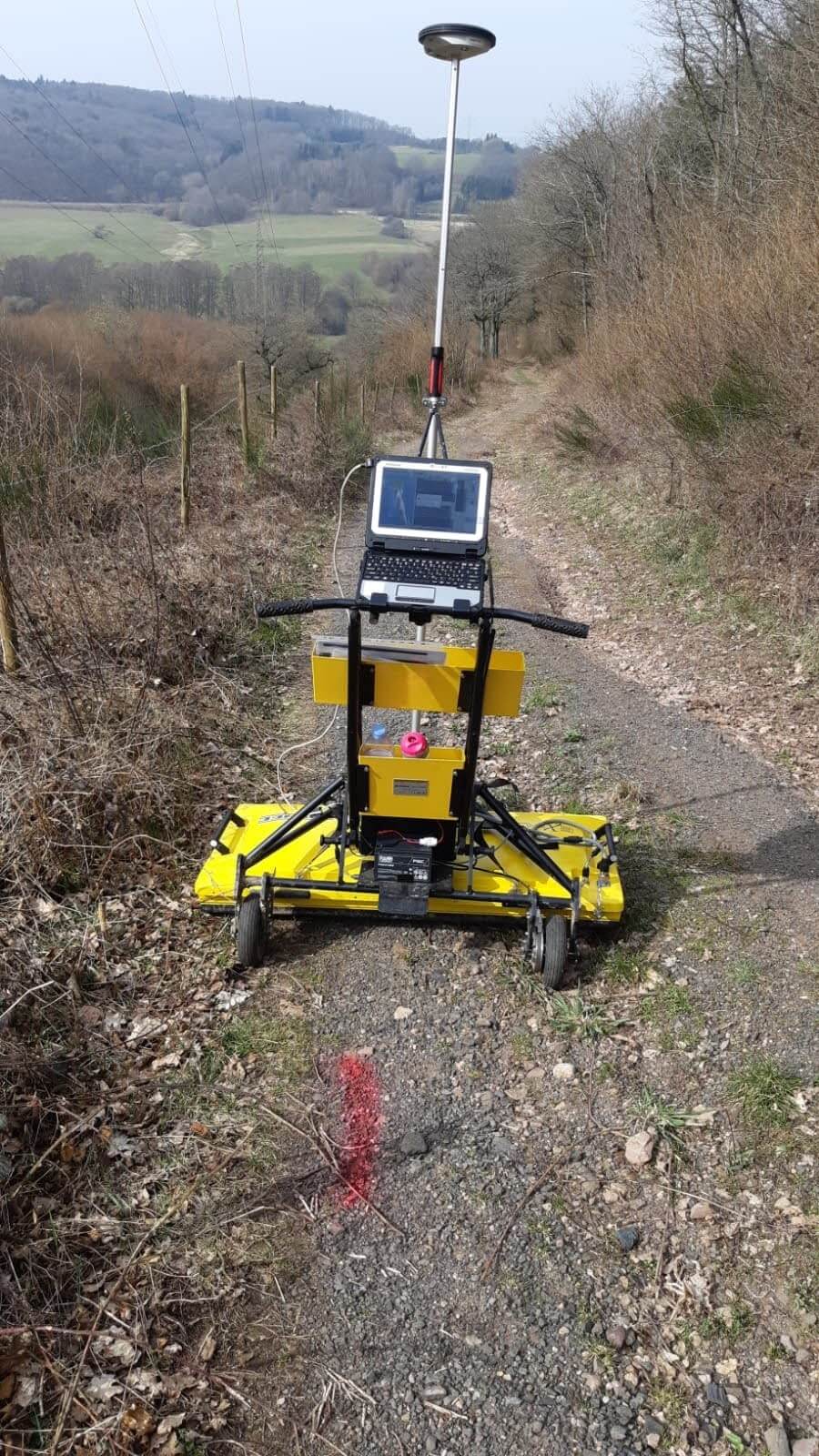
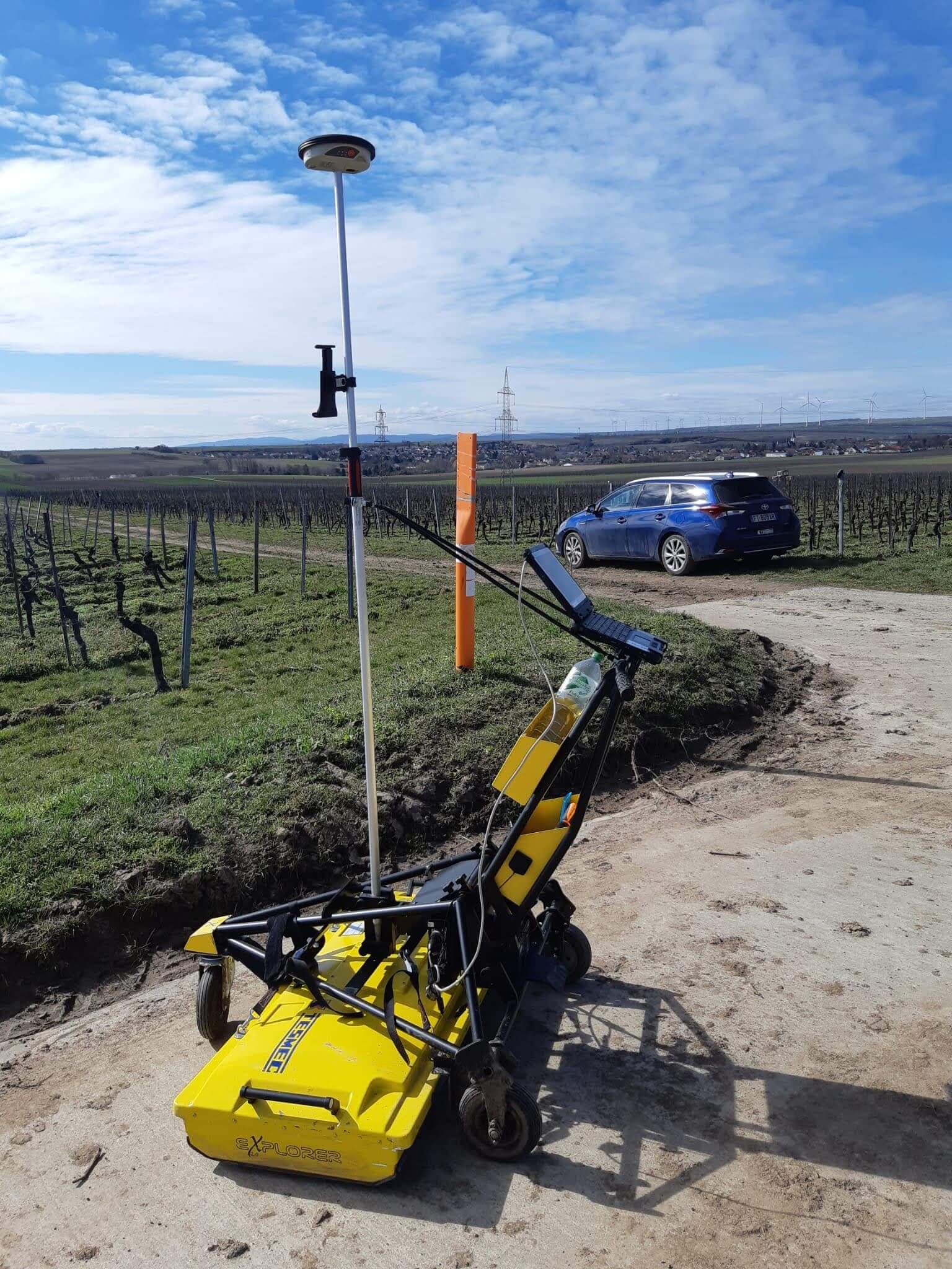
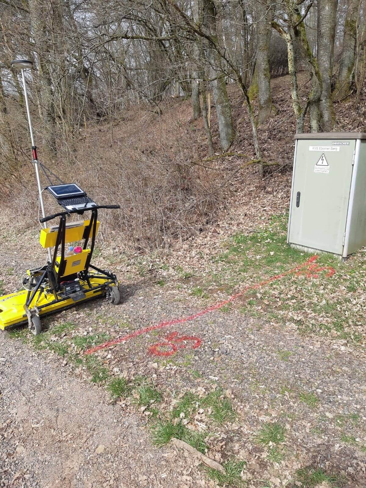
Georadar 2.0

Präzise grabenlose Netzleitungs-Erkennung

Der Tesmec Georadar 2.0 kann vergrabenen Netzwerke bis zu einer Tiefe von 160cm erkennen.

Seine 32-Antennen Radartechnologie und 3D-GPS Leica Antenne erkennt Objekte mit einer Genauigkeit von bis zu 2cm.

Die Ergebnisse sind dank eines Tablets leicht zu analysieren. Auch eine Bodenkarte wird von dem gescannten Gebiet erstellt.

Technische Daten

    • Erkennungsbreite : 100cm
    • Erkennungstiefe : Bis 160cm
    • Radarausrüstung : 32 Antennen
    • 3D GPS-Georeferenzierung
    • Kompatibel mit Autocad Format : .dxf & .dwg
cm
Genauigkeit
m
Tagesleistung
cm
Erkennungstiefe
Privacy Settings
We use cookies to enhance your experience while using our website. If you are using our Services via a browser you can restrict, block or remove cookies through your web browser settings. We also use content and scripts from third parties that may use tracking technologies. You can selectively provide your consent below to allow such third party embeds. For complete information about the cookies we use, data we collect and how we process them, please check our Privacy Policy
Youtube
Consent to display content from - Youtube
Vimeo
Consent to display content from - Vimeo
Google Maps
Consent to display content from - Google
DSGVO Cookie Consent mit Real Cookie Banner